Distance8 or 15 km
DifficultyModerately difficult
Duration2h00 or 4h00
MarkingBlue
 La Prisonnière hiking trail
 Orientation table
Installed in a recently refurbished area, this “commented” orientation table provides a reading of the surrounding landscape. From up here, you can see the Pays de Gaultier, the Sillé and Pail forests, and even Mont Rochard. It’s said that on a clear day, you can see 10 of the surrounding church towers…
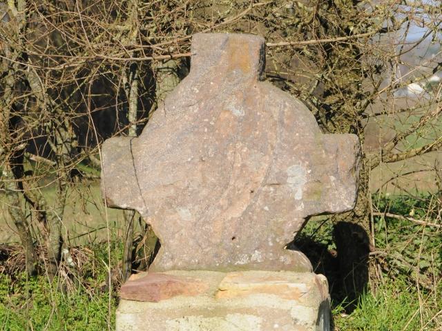
 An example of an archaic cross
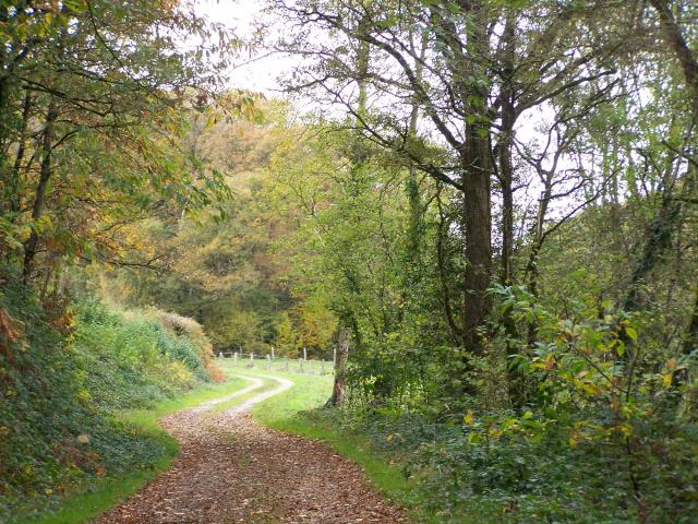
Nearly 3,000 hectares of private forest in the Mayenne department. It ends to the west with the Corniche de Pail (classified as a natural heritage site), which rises to 350 metres and offers a vast panorama of the surrounding area. Originally, this vast forest was mainly made up of oak (over 80%), which was used to make framing and furniture. After the Second World War, for economic reasons, spruces and firs replaced the oaks.
 La Forêt de Pail
The north of the department is dotted with numerous archaic crosses, some of them crossroads, others boundary markers or pilgrimage crosses… their shapes are sometimes irregular, with or without inscriptions or symbols. Yet they all bear witness to a very distant past.
After your hike, explore the surrounding area!