Distance13 km
DifficultyFrequent gradients
Duration3h30
MarkingYellow
 Le Bois de Chemasson hiking trail
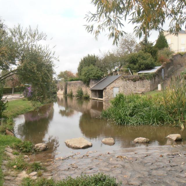
 Saint-Paul-le-Gaultier washhouse
A diversion canal probably dug by monks, the Saint Paul mill reach once supplied at least 9 washhouses and 5 drinking troughs, the most important of which was located at the foot of the village at the site of the old ford on the old Saint-Georges-le-Gaultier road. In 1976, it was used to create the communal lake.
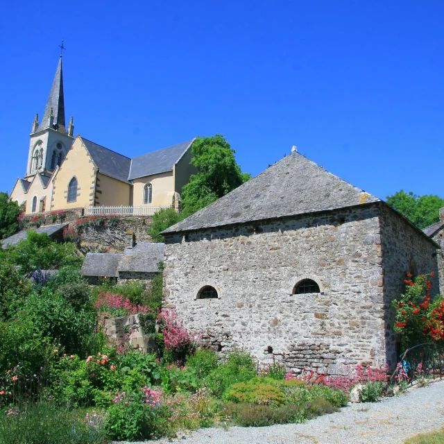
 Saint-Paul-le-Gaultier church
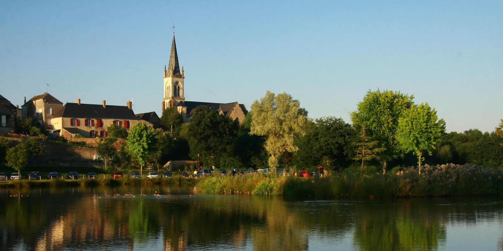
Built on a schist promontory, the church of Saint-Paul-le-Gaultier dominates the Merdereau valley. Probably originally a chapel built in the 12th century by monks who had created an agricultural estate on the southern flank of the wooded Chemasson hill, it has undergone many transformations over the centuries. In the mid-nineteenth century, the chapel underwent major alterations, with the addition of a side aisle and the erection of a slate-roofed steeple on top of the former gambrel tower.
 La Petite Potelière
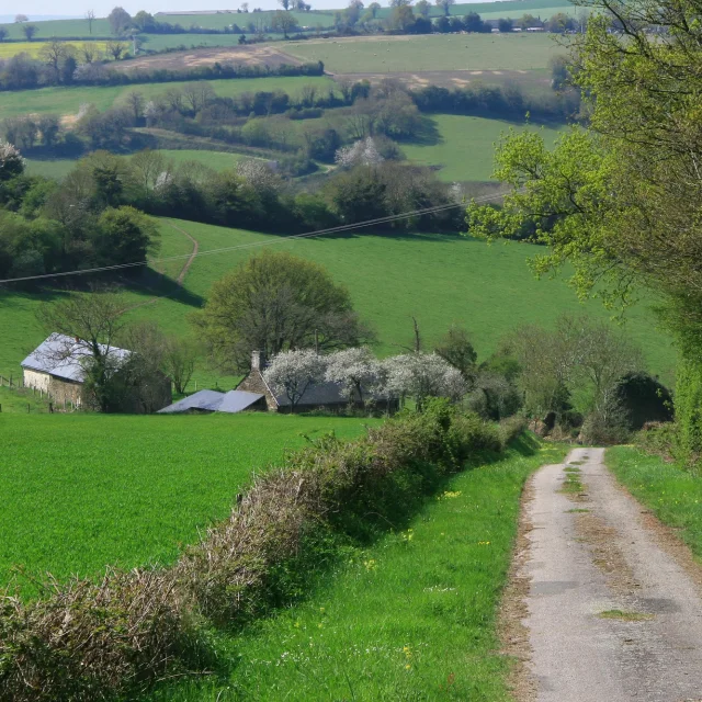
Autrefois appelé « le carrefour des trois paroisses » car situé à l’ancien carrefour des paroisses de Saint-Paul-le-Gaultier, Saint-Léonard-des-Bois et Gesvres (dans le département de la Mayenne). Point culminant du circuit (241m) proche de la Butte de Saint Toutain d’où l’on découvre un beau panorama.
 Saint-Léonard-des-Bois and Haut-Fourché
Village au coeur du site classé des Alpes Mancelles marqué par un escarpement soudain. Ses deux monts, le Haut Fourché et le Narbonne, culminent respectivement à 217 et 203 m, et ainsi forment des belvédères naturels propices aujourd’hui aux activités de pleine nature.
En empruntant le GR36, vous pouvez rejoindre ce village et le circuit Vallée de Misère au niveau des Anciennes Ardoisières.
After your hike, explore the surroundings of the circuit!